More than learning how to find a place on a map, GEOGRAPHY is finding our place in the world. The study of land, people and economics can enhance
a variety of careers for which you might be preparing or already working. After all,
we all have to live and work in this ever shrinking world.
The Geography minor offered on campus or online by the Geospatial Informatics Department can be paired
with a variety of majors.
High demand and wide array of career opportunities for graduates
Careers involving Geography
- Anthropologist
- Legislator
- Biologist
- Educator
- Economist
- Sociologist
- Geographer
- Criminal Justice
- Political Scientist
- Social Scientist
- Historian
- Tourism
- Business Marketing
- Environmental
Geography Minor
Surveying & Geomatics Minor Gain additional expertise in land surveying, geomatics, hydrology and more. This
minor helps you prepare for jobs in GIS and geomatics, such as surveyor, GIS developer
and geomatics analyst. A GIS degree and a Surveying and Geomatics Science minor is
a qualifying degree to pursue a professional survey license in Alabama.
Our program is approved by the Alabama Board of Licensure for Engineers and Land Surveyors, so you can be assured your TROY degree can lead you to a career as a licensed land
surveyor in Alabama. To become a professional licensed land surveyor, you must apply
through the Alabama Board of Licensure for Professional Engineers and Land Surveyors.
For more information, visit bels.alabama.gov.
Surveying and Geomatics Sciences Minor
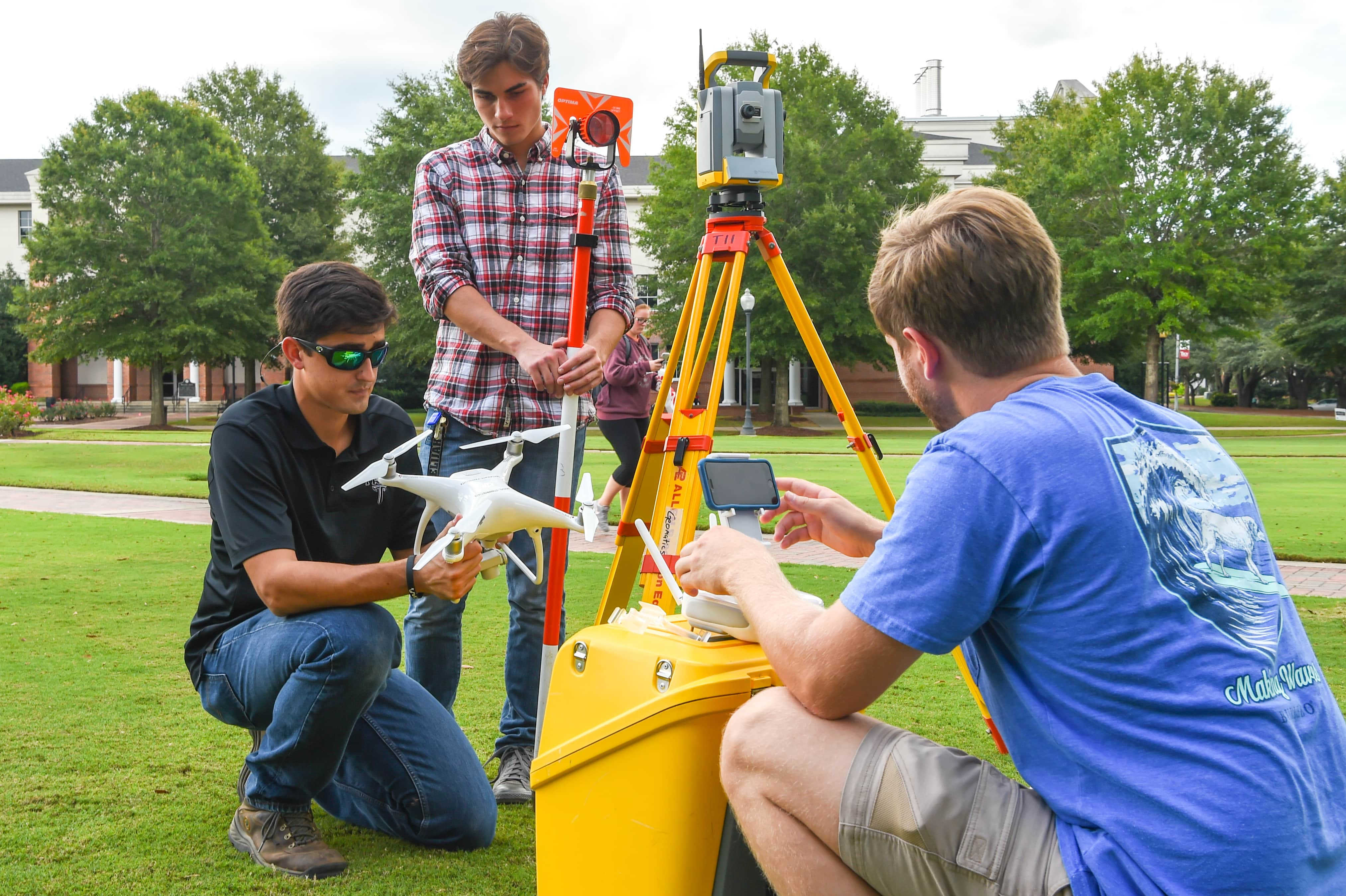
Capturing the world from above?
Are you interested in embracing new technologies like drones, GPS, GIS, and scanners?
Looking for a degree with multiple job opportunities? Want to work with leading applications?
The demand for UAS graduates is HIGH!! The Bureau of Labor Statistics predicts that
job availability in drone technology integrated with Geographic Information Systems
(GIS) will grow "much faster" than average over the next ten years. The current median
income for someone with this skill set is approximately $64,000 per year.
Troy University is the first university in Alabama to join the Federal Aviation Administration (FAA) Unmanned Aerial Systems College Training Initiative
(UAS-CTI). Troy is among 70 other universities across the U.S. to join including Embry-Riddle,
Georgia Tech, Kansas State, Middle Tennessee State and University of North Dakota.
The purpose of the UAS-CTI is to prepare students for careers in all aspects of UAS.
The FAA is collaborating with universities that will deliver up-to-date UAS training
that matches the requirements of the National Airspace System (NAS) and help provide
qualified applicants for careers involving UAS. Read more here
Degree Options
The Unmanned Aerial Systems (UAS) Minor complements many different majors in various colleges at Troy University.
- Geographic Information Sciences (GIS) major
- Resource and Technology Management major
- Criminal Justice major
- Anthropology major
- Applied Computer Science major
- Political Science major
- Social Science major
- Sociology major
- History major
- Mathematics major
- Biology major
- Chemistry major
- Physics major
- Hospitality, Sports and Tourism Management major
- Global Business major
- Multimedia Journalism major
- Art Major
- Graphic Design major
The UAS minor may also be combined with two other minors to earn a Bachelor's of Interdisciplinary Studies. Interdisciplinary Studies | Troy University. The UAS minor, GIS minor and a minor from a different college can be combined for
an online degree that will prepare you to follow a career path you choose.
An Associate of Science in General Education may also be earned with an emphasis in UAS. Associate of Science in General Education | Troy University
Each course in the minor is offered once over the course of an academic year through
TROY Online | Troy University. An optional course with hands-on sessions is offered every spring semester once
a week on the Troy campus.
Job Opportunities in UAS
- Public Health
- Oil and gas exploration
- Transportation Planning
- Accident and Hot Spot Analysis
- Environmental Impact Analysis
- Geological Applications
- Agricultural Applications
- Census Survey
- Crime Analysis
- Community Planning
- Renewable resource mapping
- Urban planning
- Site suitability mapping
- Virtual Reality Mapping
- Artificial Intelligence Mapping
- Business Management
- Tourism Information System
- Power Company
- Wild Fire Monitoring and Control
- Weather Forecasting
- Public Infrastructure Facilities Management and Inventory
- Disaster Management and Mitigation
- 911
- Precision Agriculture
- Postal Services Route Management
- Engineering
- Marine and Land Surveying
- Land Development
- Related Careers
- Anthropology
- Biology
- Business Marketing
- Criminal Justice
- Economics
- Environmental Science
- Geomatics and Surveying
- History
- Social Science
- Sociology
- Tourism
- Emergency Management
Unmanned Aerial Systems Minor