Safety Alert

Academic Programs Home | Academics | Academic Programs | Geographic Information Sciences

Geographic Information Sciences

Apply Now Request information

Program Info

Degree Type:
Undergraduate
Questions?
(800) 414-5756
Application Deadline
None
*Available for International Students
About Highlights Curriculum Locations Spotlight Careers Faculty
Back to Top

Explore the World with a GIS Degree

Are you curious about the world and how places, culture and phenomena are connected? Do you enjoy visiting new places, learning about geography and using the latest technologies to understand more about the world? If so, consider a geographic information sciences (GIS) career. In Troy University's GIS degree program, you'll learn how to use geospatial technologies to collect and conduct data analysis. Our program teaches you to map, chart and understand data that addresses some of our most pressing issues, from environmental concerns to epidemics. Whether you want to explore oceans, help protect the environment or plan urban projects, a GIS degree from TROY will equip you to do so.

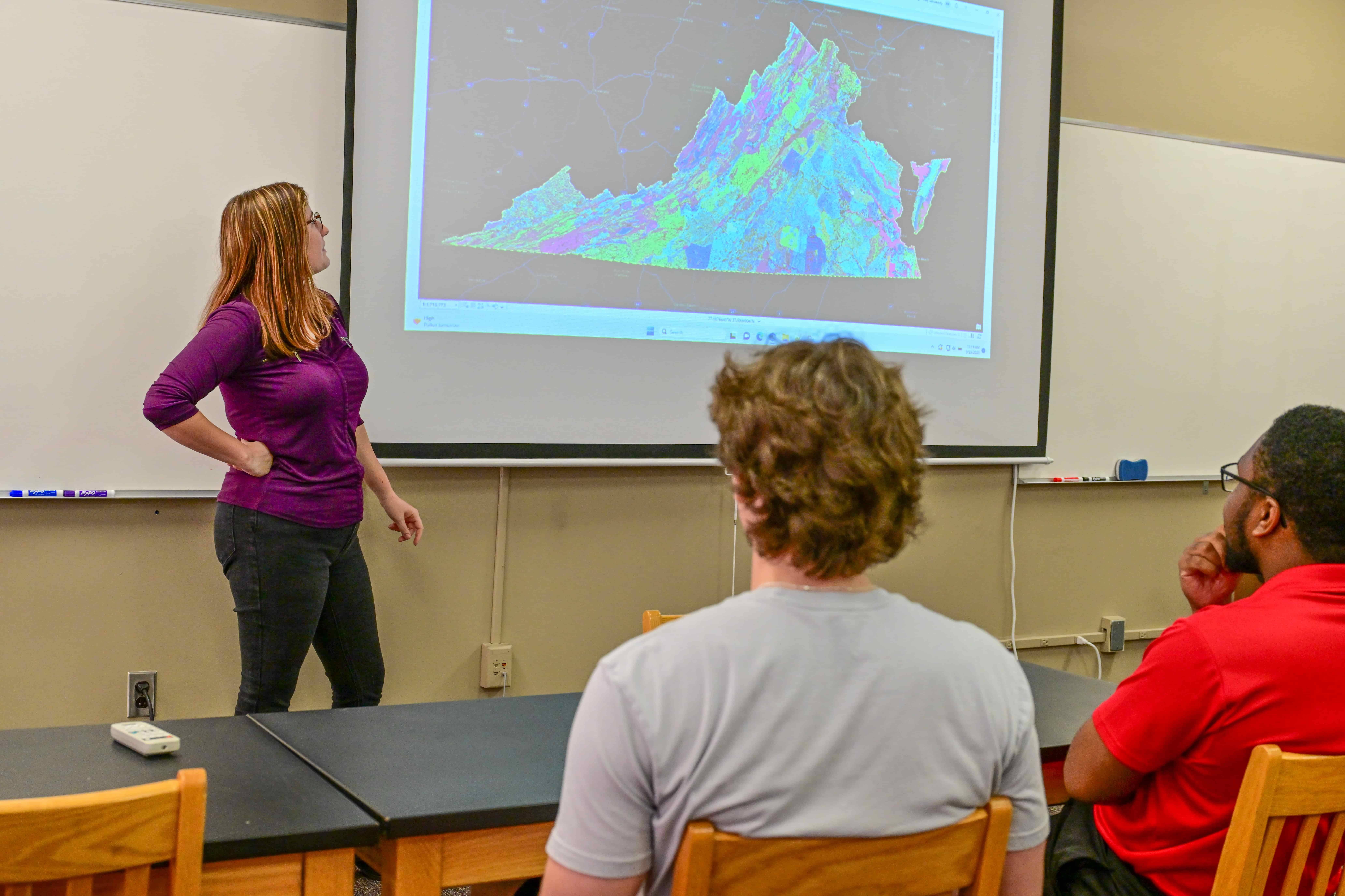
Students learn Geographic Information Sciences.
“The experiential education in Geomatics and GIS I received at Troy University has been instrumental in my experience as a professional. The ability to have real-world training and technology-driven education was crucial in preparing me for a career in the field of Geospatial Informatics”
Patrick McLure | 2014 Graduate

Work with Cutting-Edge Technologies

Explore innovative geospatial technologies like GNSS, LiDAR, terrestrial 3D scanners and unmanned aerial systems (UAS). TROY's GIS program integrates the latest technologies to give you an advantage in the job market. You'll use these technologies and learn to operate field instruments, collect spatial information, create data visualizations and more. These experiences and skills help you in any GIS career and allow you to work in several industries, from healthcare to gaming.

Develop In-Demand Skills and Prepare for GISCI Certification

TROY's geographic information science degree gives you sought-after skills such as the ability to use ArcGIS, the leading GIS software platform for creating, managing, analyzing, and visualizing geographic data and maps. You'll be prepared to hit the ground running in your GIS career and immediately make contributions in your work. You'll also be prepared for the GIS Certification Institute (GISCI) exam, which proves you have knowledge and proficiency in the geospatial field and positions you for a higher salary in GIS jobs.
Apply Now

GIS Degree Curriculum

While specific courses may vary from year to year, coursework for your GIS degree may include:
Academic Catalog

Geographic Information Sciences (GIS) Degree Maps

GIS Program Locations

Get the flexibility you need by taking GIS courses online or on the Troy Campus. For more information about program availability and delivery options, call 1-800-414-5756

A Hands-On GIS Degree Program

At TROY, you'll gain hands-on experience with industry equipment and real-world experience in geographic information sciences. In the GIS program, you'll have the opportunity to complete a semester of internship or an independent senior GIS project. In either course, you will apply GIS to a problem or situation, developing your skills in problem-solving, research, spatial data analysis and modeling/visualization. You may also have the opportunity to work on externally funded research projects with faculty members part time.
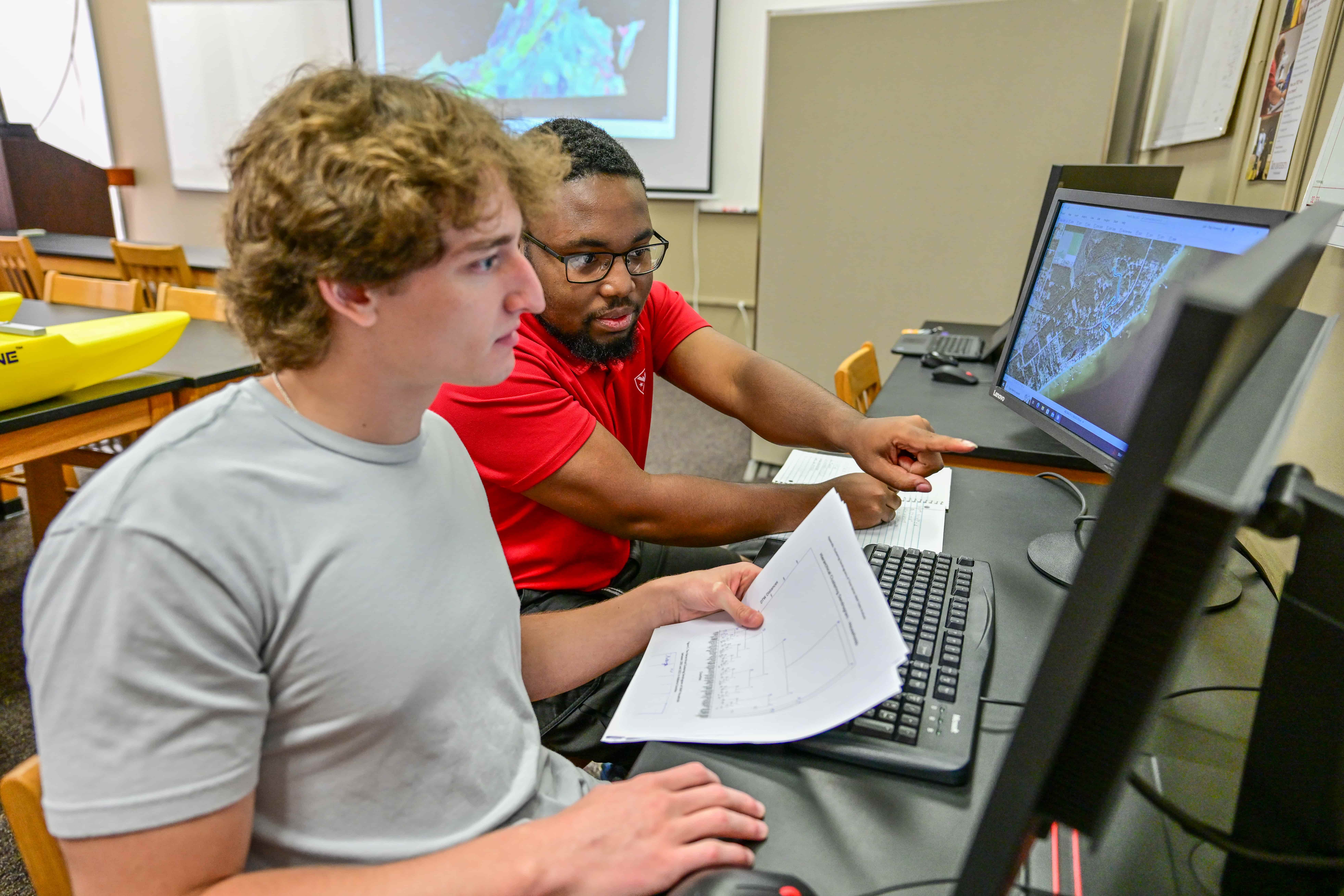
GIS Students get hands on lab experience with industry software.

Jobs in GIS

With a bachelor's degree in GIS from TROY, you'll be qualified for GIS jobs in a range of industries — and have an advantage in the job market. TROY's focus on innovative technologies and coursework means you can work in development, government, healthcare, conservation, environmental agencies or countless other fields that utilize GIS.

Faculty Profiles

Xutong Niu, Ph.D.

Xutong Niu, Ph.D.

Dr. Xutong Niu, Associate Professor and Chair, received his Ph.D. in Sciences and Surveying Engineering from Ohio State University. He specializes in LiDAR, Photogrammetry, GIS/GPS/RS data processing, coastal change analysis, Living Shoreline suitability modeling and web GIS. Dr. Niu currently serves on the Editorial Advisory Board of ISPRS Journal of Remote Sensing and Photogrammetry, a world-leading journal in remote sensing and photogrammetry. He has worked on multiple living shorelines and coastal modeling projects in the Gulf of Mexico region since 2017 and several archaeological site detection projects using LiDAR and remote sensing technologies.
Steve Ramroop, Ph.D., GISP

Steve Ramroop, Ph.D., GISP

Dr. Steve Ramroop, surveying and geomatics sciences program director, is a Geographic Information Systems Professional (GISP). He earned his Ph.D. in New Zealand, M.S. in the Netherlands, and B.S. in Trinidad and Tobago. His research interests include traditional land surveying concepts, knowledge based and machine learning Geographic Information Systems (GIS), GIS data and technology integration/advancement and GIS interoperability.
Samantha Earnest, Ph.D.

Samantha Earnest, Ph.D.

Dr. Samantha Earnest, lecturer, earned her Ph.D. in geography from Florida State University. She has over 25 years of experience in historic preservation in both the public and private sectors. Her research interests include natural and cultural resource management.
Min Xu, Ph.D.

Min Xu, Ph.D.

Dr. Min Xu, Assistant Professor, received her Ph.D. in geography from The University of Alabama in 2020. Before joining TROY, she was a postdoctoral researcher in the College of Marine Science at the University of South Florida. Her research interests include environmental remote sensing and GIS with a focus on the water quality issues of inland lakes, rivers, and coastal environments. She has published 23 peer-reviewed journal articles in publications such as Remote Sensing of Environment, IEEE Transactions on Geoscience and Remote Sensing and the International Journal of Applied Earth Observation and Geoinformation. Recently, she was granted a U.S. Patent for systems and methods for modeling water quality.
Bill Hazelton, Ph.D.

Bill Hazelton, Ph.D.

Dr. Bill Hazelton, Associate Professor, received his Ph.D. in 4-D GIS from the University of Melbourne in 1992. He is a licensed surveyor in Australia and has taught across the geospatial curriculum in the U.S. His research interests include GIS/LIS, map projections, GPS, geodesy, surveying (especially deformation surveying) and photogrammetry. He helped design the Alabama State Plane Co-ordinate System 2022 and has been involved with field surveys to improve Alabama's geoid. He has published extensively and regularly works with professional organizations to provide continuing professional development for working professionals.

TROY GIS Degree Concentrations

Tailor your GIS bachelor's degree to your career goals by choosing a general GIS or geography concentration.
Bachelor's Degree in GIS - General
Focus your studies on the technical aspects of GIS to prepare for positions such as GIS specialist, GIS mapping specialist and spatial data analyst.

Degree Map - General - Troy
Degree Map - General - Online
Bachelor's Degree in GIS - Geography
Learn the fundamentals of geography and how to inform social, environmental and political decisions. This emphasis prepares you for GIS careers such as geographer, urban planner or conservationist.

Degree Map - Geography - Troy
Degree Map - Geography - Online

Surveying and Geomatics Sciences Minor

Gain additional expertise in land surveying, geomatics, hydrology and more. This minor helps you prepare for jobs in GIS and geomatics, such as surveyor, GIS developer and geomatics analyst.

Surveying & Geomatics Minor


Unmanned Aerial Systems (UAS) Minor

Work with the latest drone technologies to capture geographic data from above and prepare for roles in public health, oil and gas exploration, transportation planning, environmental impact analysis and more.

UAS Minor

Related Programs

FAQ About the TROY GIS Program

Learn more about the field of geographic information sciences and our program.
What is GIS used for?
Geographic information systems (GIS) are powerful tools that help us process, research and analyze geographic data. GIS technologists, geographers, cartographers and related professionals use GIS for numerous purposes, including urban planning, climate research, biodiversity, social justice and public health.
What is a GIS specialist?
A GIS specialist collects and analyzes geospatial data, designs digital maps and visualizes geographic information in an understandable way. GIS specialists work in a wide range of fields, including regional planning, research, business and conservation.
Is GIS a good career?
If you are interested in geography, mapping, technology or data analysis, GIS is a great career choice. With continuous technology developments, GIS is a growing field with applications in numerous industries. Whether you want a GIS career in government, technology, construction, forestry, health or another industry, you'll have ample opportunities to work on fulfilling projects. According to Glassdoor, the average salary for GIS analysts is $78,362.

Helpful Links

News

Dr. Chris Boyd and his team collected water and other samples from over 70 sites along the Choctawhatchee Bay.

TROY Faculty Develops Oyster Suitability Model in Collaboration with Environmental, County agencies

Troy University environmental science faculty recently developed an oyster habitat suitability model for the Choctawhatchee Bay as part of a $114,843 grant from the Choctawhatchee Basin Alliance and Northwest Florida State College.

Read More

INTERESTED IN
APPLYING TO TROY?

Apply Now Request Info Contact Us
Cookie Acknowledgment
This website uses cookies to collect information and to improve your browsing experience. Please review our privacy statement for more information.